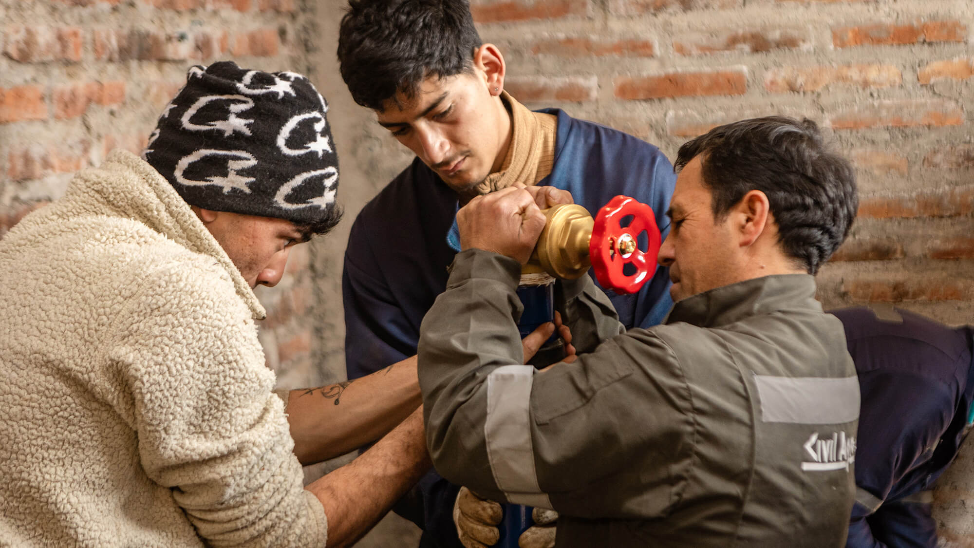
Digital Earth Africa and the Amazon Sustainability Data Initiative are supporting technology development in Africa with vital Earth observation tools.
Earth observation (EO) data, such as satellite images, has the potential to help both people and the planet. But the data is often overwhelming and messy, making it hard to take advantage of information that could support better policy decisions and support more sustainable development. So when Digital Earth Africa (DE Africa) started in 2019, it was with a simple but ambitious vision: to democratize EO data to improve lives. The program aimed to provide a continent-wide platform that would empower African governments, researchers, communities, and innovators with free and open access to this kind of data, processed and ready for analysis.
Today, DE Africa delivers a vast range of analysis-ready EO data and technical product services for the continent, including information on Africa’s land and water, crop health, and changes to its shoreline. This data is updated regularly and made accessible in user-friendly formats.
The Amazon Sustainability Data Initiative (ASDI) hosts DE Africa data on Amazon Web Services (AWS) infrastructure in Cape Town, South Africa, helping to enable a secure and high-performing service for fast access and analysis of African geospatial data at unprecedented scale and speed.
A data revolution takes root in Africa
ASDI, a tech-for-good program aimed at making key environmental data like climate records openly available on the AWS cloud, supports the storage, access, and computation of datasets, accelerating the work of researchers and developers around the world.
Its work with DE Africa has yielded over five petabytes of satellite data now accessible to African users in analysis-ready formats. More than 50 government ministries across the continent have benefited from DE Africa's tools and training. And African institutions are now taking the lead in designing, developing, and using EO data to map flooding risks in Nigeria, monitor agriculture in Kenya, and more.
DE Africa and ASDI’s collaboration shows what’s possible when pre-processed open data meets cloud innovation. ASDI presents analysis-ready data, reducing the significant volume of raw data that would otherwise require hours and even months of processing. And the data is hosted in the cloud, which removes barriers for African stakeholders. This ensures that users across Africa have the necessary tools to address the continent’s most pressing challenges. And it’s a powerful example of how a partnership grounded in sustainability goals and local relevance supports real-world impact.
From access to impact
As DE Africa marks its sixth anniversary, the program is seeking to further embed this data into daily decision-making and operations throughout Africa, and ensure its long-term sustainment. Understanding and sharing information about the program’s positive impact on African communities and environments is critical to its sustainable growth, and the examples are compelling.
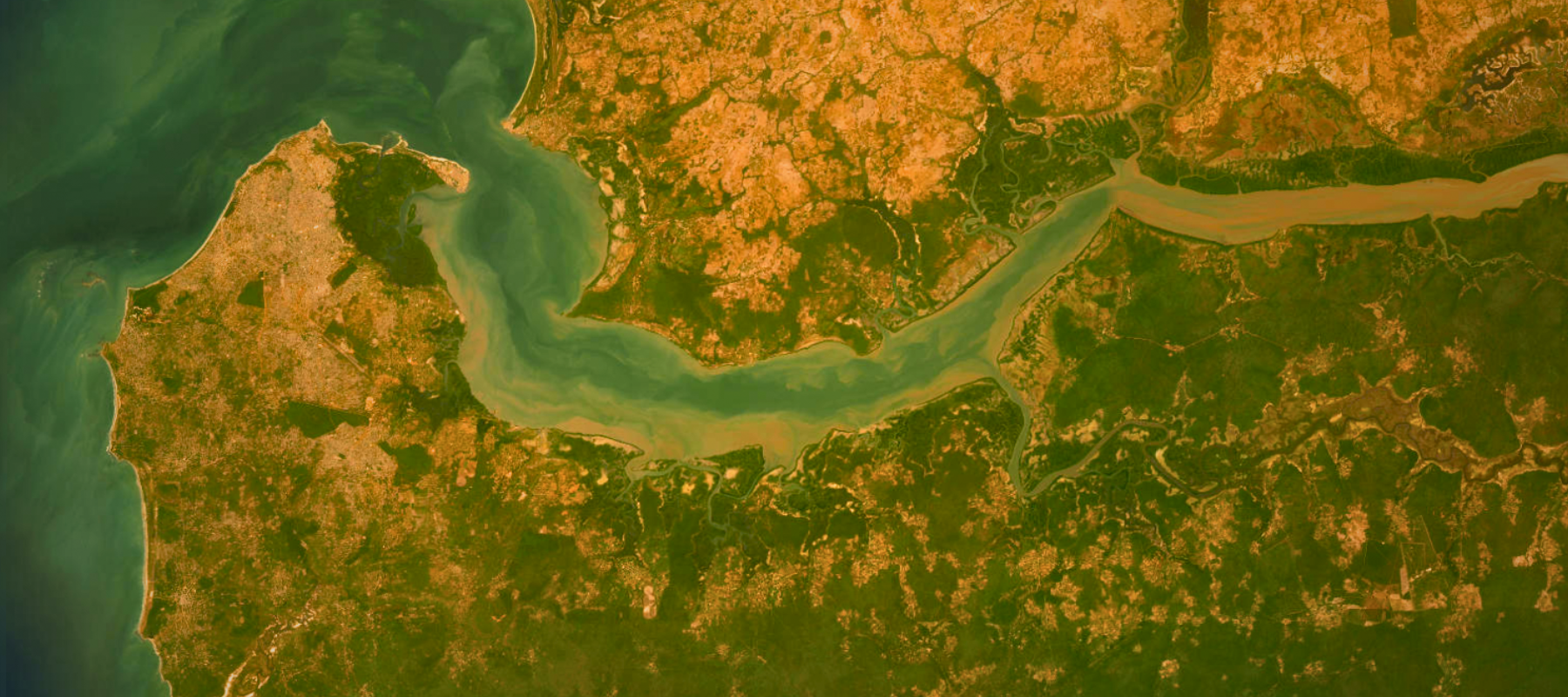
In southern Senegal, Sustainable Ecosystem-Based Adaptation Solutions and one of DE Africa's regional partners, the Centre de Suivi Ecologique, are showing how powerfully satellite technology and community-driven conservation can work together by using DE Africa's data to identify and classify seagrass species within a marine protected area (MPA). These vital but understudied ecosystems help support biodiversity, sequester carbon, and prevent coastal erosion. The project also revealed a critical gap in community awareness; many stakeholders couldn’t distinguish seagrass from other marine plants, highlighting the need for education about its ecological and economic value. The MPA's participatory management model, which directly involves local communities in decisions and stewardship, promotes sustainable resource use while empowering communities to balance their livelihoods with conservation goals.
In Kenya, a research team under Pamela Ochungo, a geospatial scientist with the British Institute in Eastern Africa, has combined archaeology and satellite science to protect African heritage sites. Using DE Africa's tools and services, the team documented archaeological locations across Kenya, Tanzania, and Senegal, while analyzing coastal changes from 1984 to 2023. The resulting digital data set helps identify heritage sites endangered by erosion, informing conservation priorities and policy decisions.
"DE Africa stood out to me due to its emphasis on accessibility, its continent-wide coverage, and the ease with which it allows users to analyze freely available satellite data using analysis-ready scripts without requiring high-end computing infrastructure," Ochungo said.
Africans shaping Africa
As the urgency of addressing climate change, biodiversity loss, and food insecurity intensifies, programs like DE Africa and ASDI are no longer experimental—they’re essential.
But the greatest achievement is perhaps cultural. The narrative has shifted: Africa isn’t a passive recipient of data; it’s a leader in EO science. African universities are incorporating DE Africa tools into curricula, national governments are embedding satellite data in their policy decisions, and startups are building services that rely on the foundational infrastructure made possible by this collaboration.
In just a few years, the convergence of DE Africa and ASDI has transformed the EO landscape in Africa from fragmented data silos to an interconnected, accessible ecosystem. It’s a testament to what’s possible when technological innovation intersects with a commitment to openness, local leadership, and global collaboration.
Learn more about the Amazon Sustainability Data Initiative.
Learn more about Open Data on AWS.
Sign up for our monthly newsletter to get Amazon sustainability updates sent directly to your inbox.